Precip
precip.aiModelling weather with modern compute. Focussed on hyperlocal rainfall.
Modelling weather with modern compute @ precip.ai
I've worked across the software stack. Machine learning, web app and devops. Models to estimate crop yields and predict the weather. Front end apps to manage farms and model cities in 3D.
I have enjoyed working on software products that touch the physical world be it weather, urban planning or agriculture.
Modelling weather with modern compute. Focussed on hyperlocal rainfall.
Software to empower city makers. Draw simply in 3D on a map — buildings, roads, landscape — and the areas, yields and feasibility update as you move things.
Farm management software, then part of Corteva. Developed the satellite data based yield model covering the entire United States. Used in Profit Maps. It reached growers through a collaboration with John Deere.
Machine learning on satellite imagery for farmers. Since acquired by Bushel.
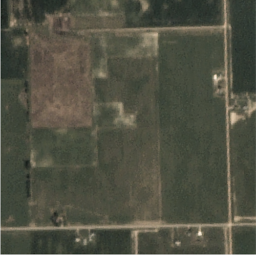
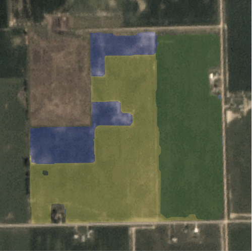
A machine learning model to estimate crop areas. This involved cleaning and processing large volumes of satellite imagery.
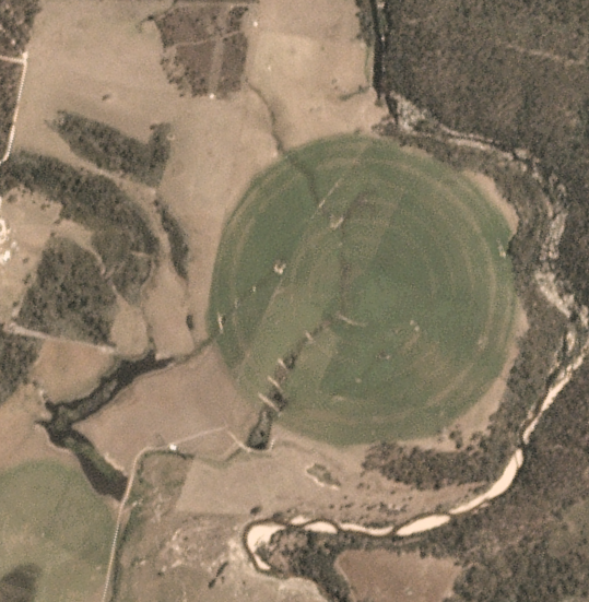
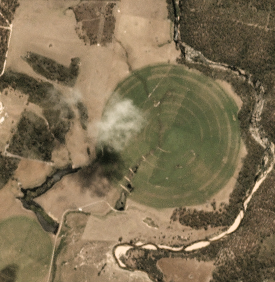
A deep learning based cloud filter to improve the quality of data going into our models.
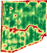
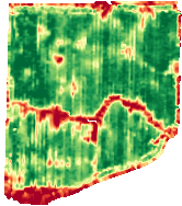
A model to estimate corn and soy yields based on real time satellite imagery. The model was trained on millions of acres of historical yield files and 8 growing seasons of satellite imagery.
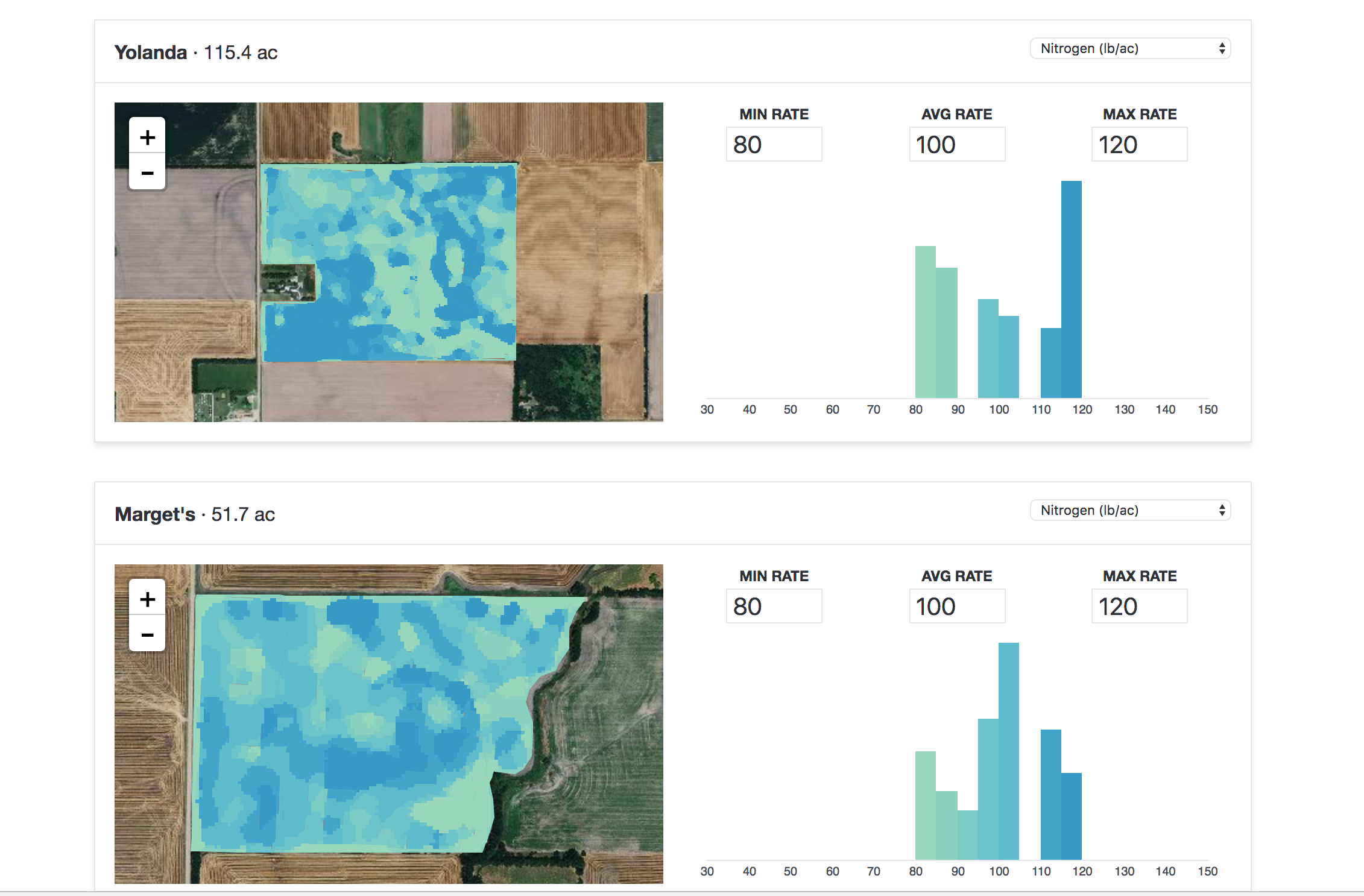
App to automatically generate variable rate seeding and nitrogen prescriptions based on soil maps, climate data, satellite imagery and historical yield files. Users can customize rates and download in the format appropriate for their machinery.
Data scientist and full stack engineer.